


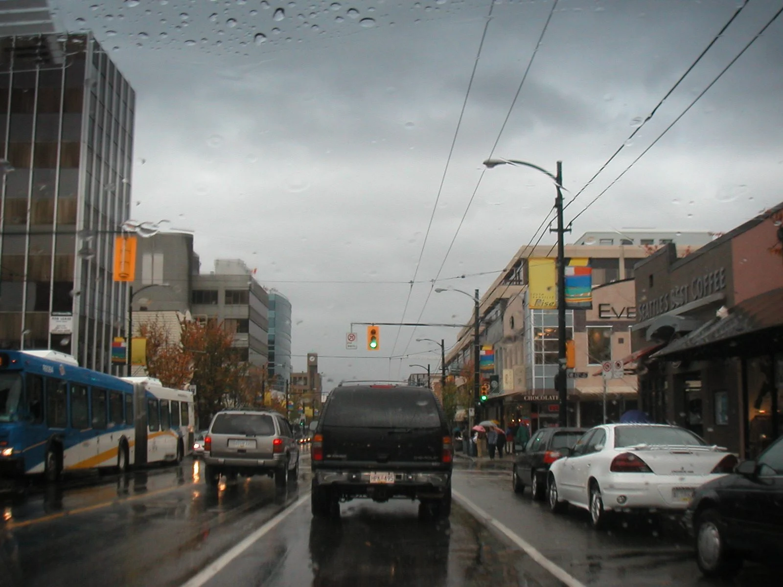
British Columbia weather news: the B.C. Atmospheric River Flood Watch is now in effect for much of the coast, and the next storm in line could dump up to 300 mm of rain on Vancouver Island and the North Shore before the week is out.
By Maplestime News Desk | Vancouver, British Columbia | November 10, 2026
Sources: B.C. River Forecast Centre, The Weather Network, Environment and Climate Change Canada | Last updated: November 10, 2026
Key Takeaways
- The B.C. River Forecast Centre upgraded to a Flood Watch on November 9 at 12:36 p.m., covering the South Coast, Vancouver Island, the Central Coast and the Fraser Valley.
- Environment Canada has an orange-level rainfall warning for Howe Sound and the Sea to Sky corridor, with 120 to 160 mm expected from Tuesday morning to Wednesday night.
- The Weather Network rates the incoming system a strong AR-4 atmospheric river, with 200 to 300 mm or more possible on western Vancouver Island and the North Shore.
- Coastal wind gusts of 60 to 70 km/h or more are expected, and high tides and storm surge on Wednesday could slow drainage from rivers on eastern Vancouver Island.
- The weekend storms before this one knocked out power to nearly 415,000 BC Hydro customers, and about 6,000 were still without power in the Central Interior on November 9.
B.C. Atmospheric River Flood Watch Covers the Coast
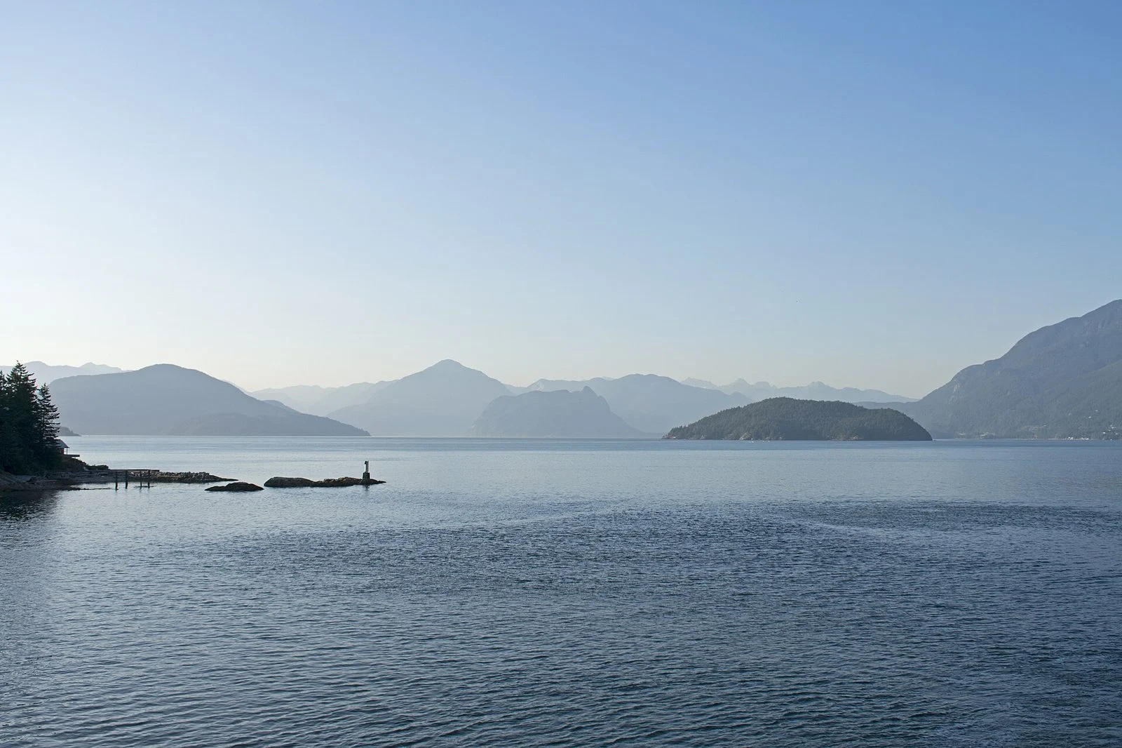
The B.C. Atmospheric River Flood Watch was upgraded on November 9 at 12:36 p.m., and it covers a long stretch of the province. The watch includes the South Coast, including Howe Sound, the North Shore Mountains and the Sea-to-Sky corridor, plus Northern, Western, Central and East Vancouver Island, the Central Coast around Kingcome, and the Fraser Valley North. A High Streamflow Advisory is also in effect for the Pemberton Valley.
The timing is what makes this one hard to ignore. The rain arrives Tuesday morning and keeps falling through Wednesday night, with the heaviest totals landing on terrain that is already soaked from the weekend. Forecasters expect the rivers to respond fast, and the Flood Watch means river levels could reach flood stage in the warned areas.
How Much Rain, and Where It Falls Hardest
Environment Canada has issued an orange-level rainfall warning for Howe Sound and the Sea to Sky corridor, from Squamish to Whistler, calling for 120 to 160 mm from Tuesday morning to Wednesday night, with some spots possibly topping 150 mm. Yellow warnings cover Metro Vancouver and the North Shore, at 60 to 100 mm and up to 120 mm in the mountains, and North Vancouver Island at 100 mm or more.
The Weather Network rates the incoming system a strong AR-4 atmospheric river, and its numbers are the ones driving the B.C. Atmospheric River Flood Watch. It puts 200 to 300 mm or more on western Vancouver Island and the North Shore, 100 to 200 mm on east Vancouver Island, and 50 to 100 mm across the rest of the Lower Mainland. That is a lot of water in about two days, and it is coming on top of a weekend that already pushed rivers and storm drains hard.
Wind is part of the problem too. Coastal gusts of 60 to 70 km/h or more are expected with the storm, and high tides combined with storm surge on Wednesday could hamper drainage from rivers on eastern Vancouver Island in the areas under the B.C. Atmospheric River Flood Watch, keeping water high even after the rain eases.
Related: More Canada News on Maplestime
A Coast Still Cleaning Up From the Weekend
British Columbians do not need to be told what a big storm can do, because the last one just did it. Weekend storms knocked out power to nearly 415,000 BC Hydro customers across the province. By November 9, crews had restored 99 percent of them, but about 6,000 customers were still in the dark in the Central Interior, with full restoration expected by Tuesday evening, just as the next storm arrives.
And this may not be the last of it. Forecasters say another strong low-pressure system could hit the South Coast by Friday, which would make it three significant storms in about a week. For now, the B.C. Atmospheric River Flood Watch remains in effect, and the advice is the usual November advice on the coast, and it is worth taking seriously: stay clear of fast-flowing rivers and streams, never drive through flooded roads, and keep an eye on the River Forecast Centre and Environment Canada warnings as the rain totals come in.
Maplestime will provide updates from the B.C. Atmospheric River Flood Watch as announcements are made.
Have a tip about this story? Email [email protected]
Have a correction? Email [email protected]
Is B.C. ready for another 300 mm, or are we just getting used to flood watches every November? Tell us in the comments. And share this with every Canadian on the West Coast watching the rivers rise this week.
Enjoying Maplestime? Support independent Canadian journalism — no paywall, no corporate owners.