




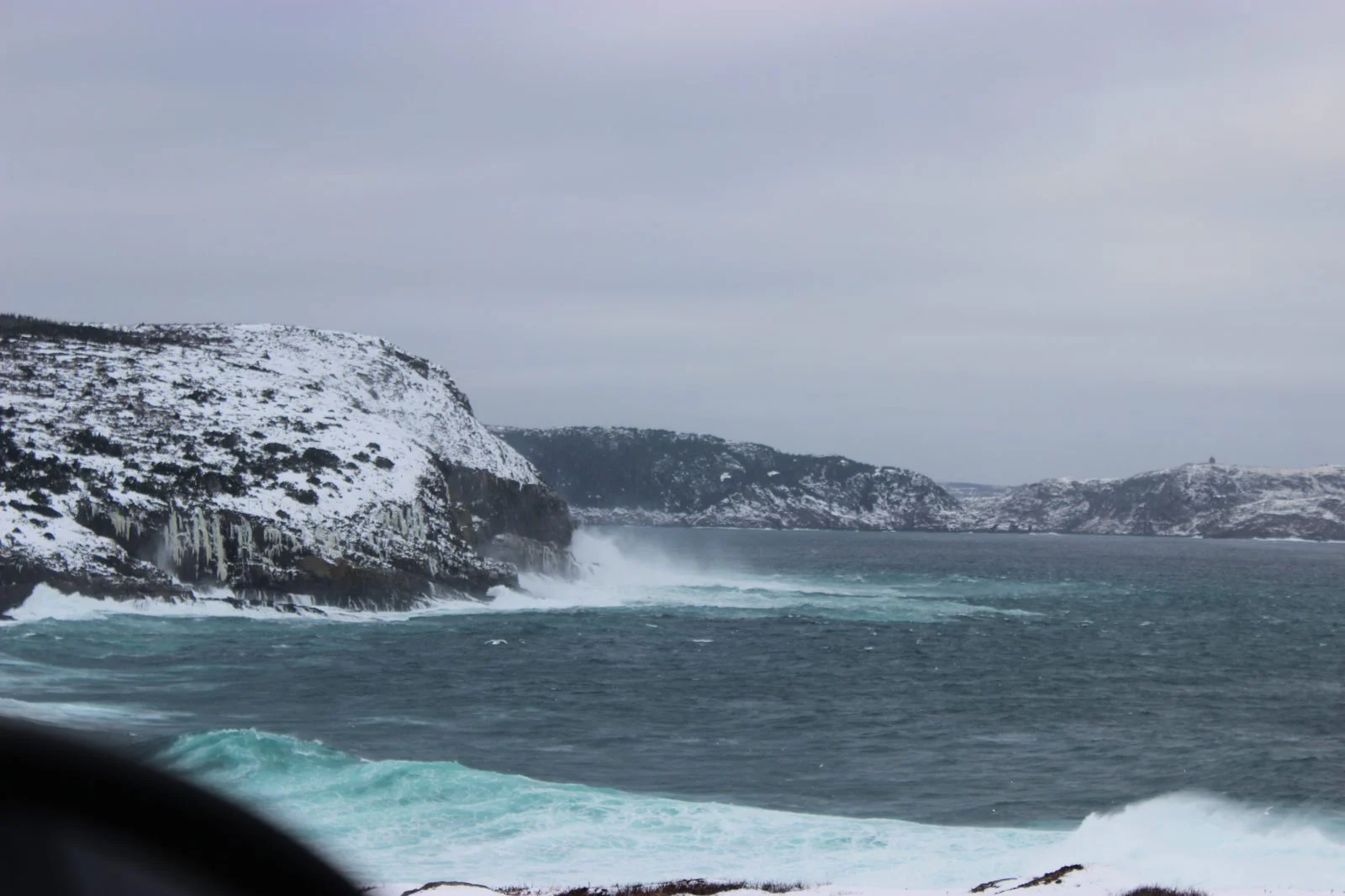
Canadian weather news — Storm Josephine Newfoundland is coming ashore today as a powerful post-tropical low, and Environment Canada says southern and eastern parts of the island are about to be battered by northerly gusts of 80 to 110 km/h, with 50 millimetres of rain and even snow in the mix before Friday night.
By Maplestime Weather Desk | St. John’s, Newfoundland and Labrador | October 23, 2026
Sources: The Weather Network | SheerrWeather | Last updated: October 23, 2026
Key Takeaways
- Wind is the headline: Environment Canada has a Wind Warning in effect for southern and eastern Newfoundland, with northerly gusts of 80–110 km/h peaking through Friday afternoon and evening.
- Rain and a wintry twist: 20–50+ mm of rain is possible across southeastern Newfoundland, while cold air wrapping behind the low brings a rain-snow mix to central Newfoundland and the Burin Peninsula.
- Coastal danger: Waves of 3–5 metres are expected, raising the risk of coastal flooding along exposed shorelines.
- Widespread outages possible: Damaging winds could snap tree limbs and knock out power across the island and parts of the Maritimes.
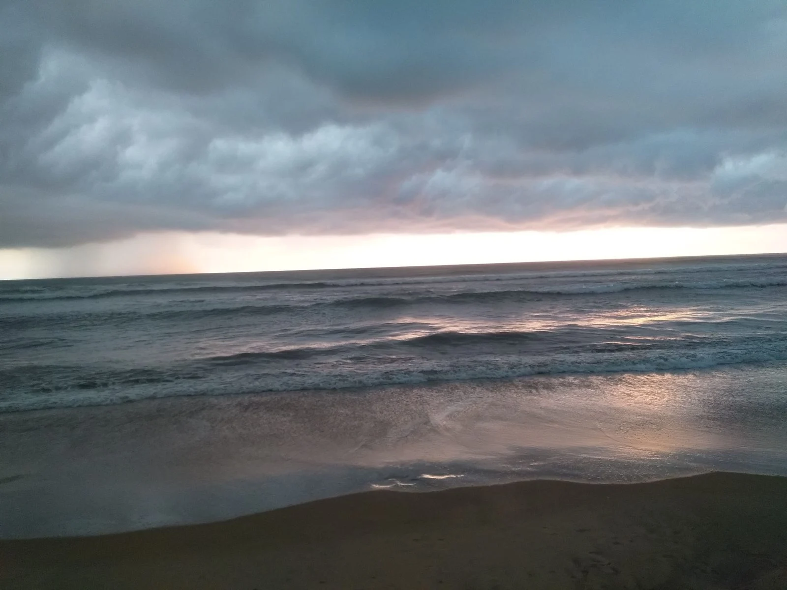
What Remains of Josephine
Josephine was the 10th named storm of the 2026 Atlantic hurricane season, and a subtropical storm at that — one of those oddball systems that fed off cold air rather than warm ocean water. The U.S. National Hurricane Center issued its final advisory on October 22, downgrading the system as it left the tropics behind. But as every Newfoundlander knows, a storm doesn’t stop being dangerous just because it loses its tropical title.
Now a powerful post-tropical low passing south of Newfoundland, Josephine has kept its punch. The system’s wind field is broad, which is why gusty northerly winds aren’t confined to the island — parts of the Maritimes are seeing gusts of 50–90 km/h too, with southeastern Nova Scotia also in line for heavy rain.
It’s a familiar late-October script on the East Coast: the storm swings by, drags in a northerly blast, and somewhere behind it the temperature falls far enough to turn rain into wet snow. If you were waiting for fall’s first real reminder that winter is loading, this is it.
Related: Atlantic Canada’s wildest fall storms — and what they cost the coast
Storm Josephine Newfoundland: What the Warnings Say
Environment Canada’s Wind Warning covers southern and eastern Newfoundland through Friday, with gusts peaking in the 80–110 km/h range. Northerly winds like this are the worst kind for power lines on the Avalon — they blow straight down off the barrens and funnels through the hills, and anything not tied down becomes a projectile.
Rainfall is the secondary threat but no afterthought: 20–50+ mm is possible across southeastern Newfoundland and southeastern sections of Nova Scotia. That much rain, driven sideways by near-100 km/h gusts, will pond on roads, flood low-lying areas and make the Friday commute around St. John’s genuinely miserable.
Then there’s the cold air wrapping in behind the low. Central Newfoundland and the Burin Peninsula could see the rain change to a mix of rain and snow — an early-season slap that could coat higher ground and catch anyone who hasn’t swapped to winter tires yet.
Waves, Outages and What to Do Today
Offshore, the story is just as serious. Waves building to 3–5 metres are forecast, and with tides already running high in spots, exposed coastal areas face a real coastal-flooding risk. If you live near a waterfront that takes northerly surf, today is not the day for a shoreline stroll.
The damage risk is straightforward: gusts of this strength will bring down tree limbs, especially where trees are still holding some leaves, and widespread power outages are possible across the warned regions. Newfoundland Power and local emergency managers typically ask residents to charge devices, secure outdoor furniture and stay off the roads if possible during the worst of the wind.
For the Maritimes, the message is milder but not trivial — gusts of 50–90 km/h will still rattle the coast and could cause isolated outages, with the heaviest rain aimed at southeastern Nova Scotia.
The good news: Josephine is expected to weaken before it leaves Canadian waters. This is a fast, nasty punch — not a lingering multi-day siege.

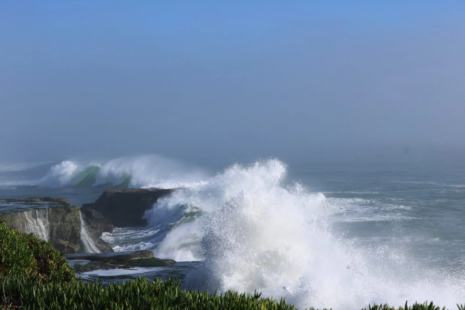
Maplestime will provide updates from Storm Josephine Newfoundland as warnings change and conditions unfold through Friday.
Have a tip about this storm? Email [email protected]
Have a correction? Email [email protected]
Are Newfoundland’s storm warnings strong enough for 110 km/h gusts — or should the whole island treat post-tropical lows like hurricanes? Tell us in the comments. And share this with every Canadian on the East Coast who has Friday travel plans.
Enjoying Maplestime? Support independent Canadian journalism — no paywall, no corporate owners.